Antelope Island State Park

Brief & Notes:
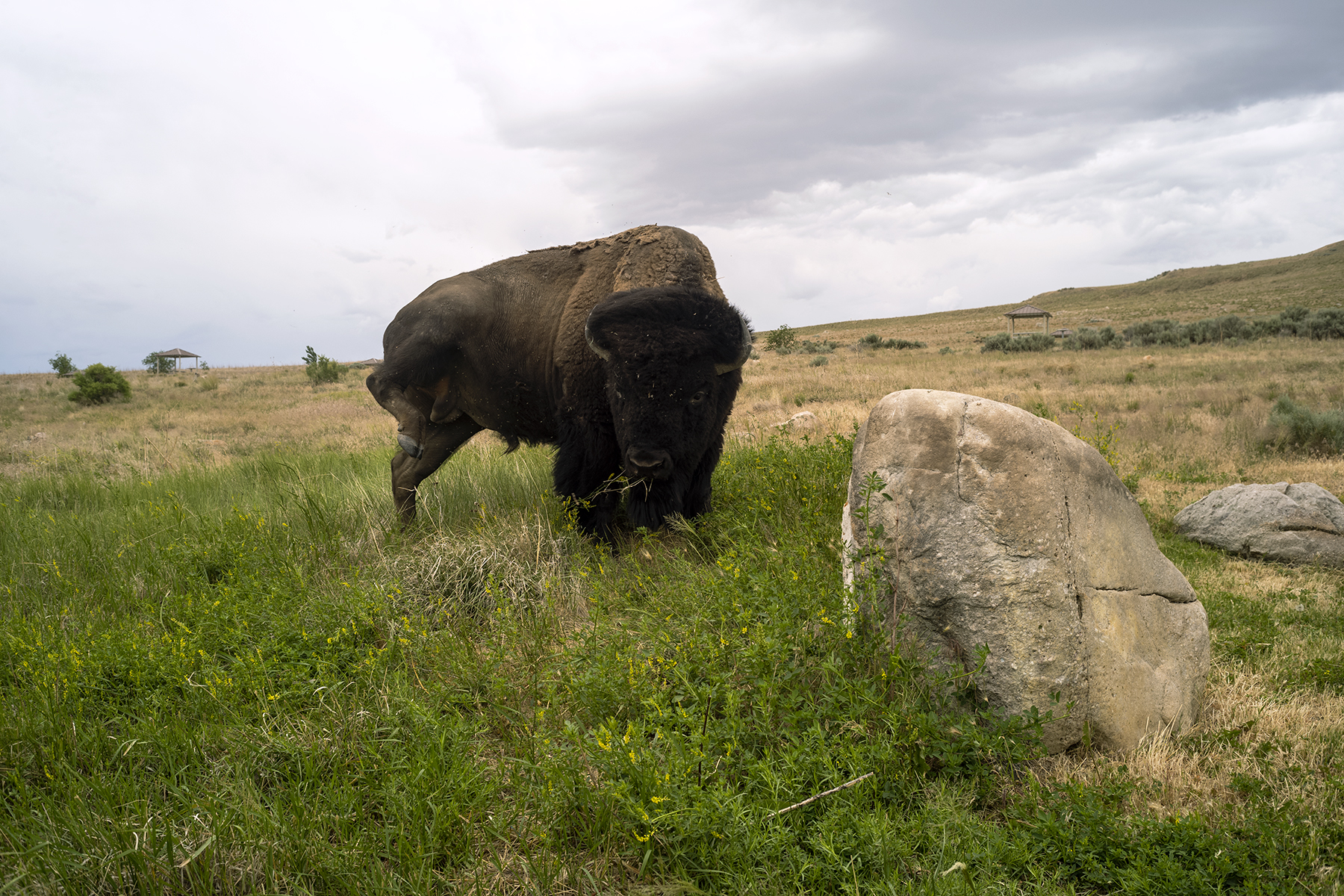
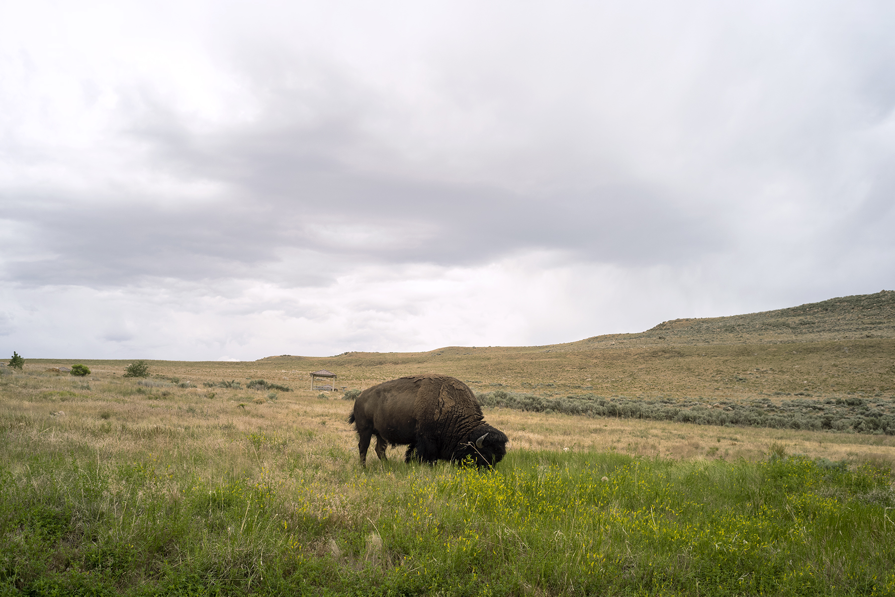
Antelope Island, located in Utah, is a state park that encompasses the entire island. In the early 20th century, there were suggestions to turn it into a national park due to its wildlife and picturesque landscape, but this still needs to come to fruition. The idea of making it a state park gained momentum with the creation of the Utah State Parks System, but since the island was privately owned at the time, it was not possible. The island was initially used for ranching cattle and sheep by the pioneers, and it remained under the control of the early settlers until around 1870. John Dooly Sr. then purchased the island and established the Island Improvement Company, which managed the island and ranches until 1981. The State of Utah purchased the northern part of the island in 1969 and the remaining land in 1981, which included the historic Fielding Garr Ranch. As a result, the cattle and sheep were removed, and Antelope Island State Park was established in 1981 as part of the Utah State Parks System.
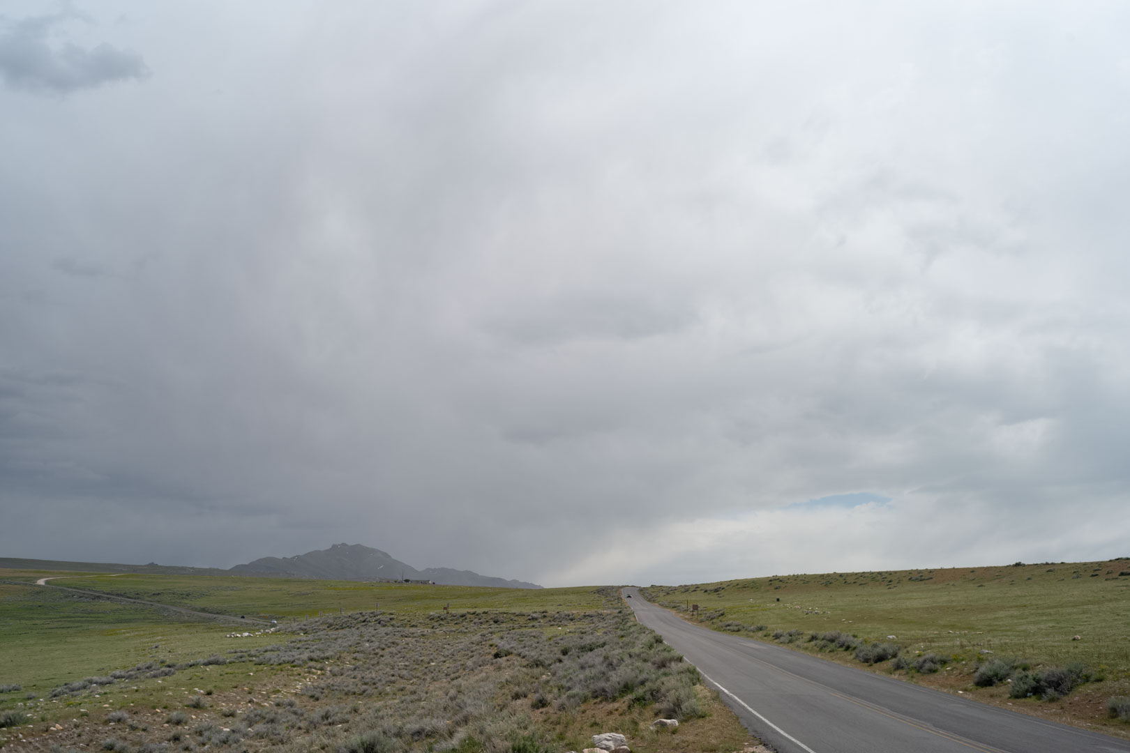
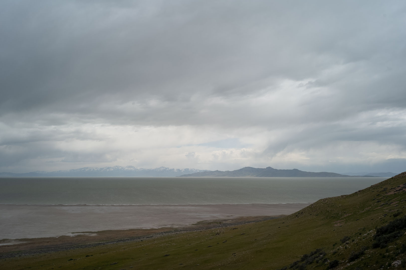
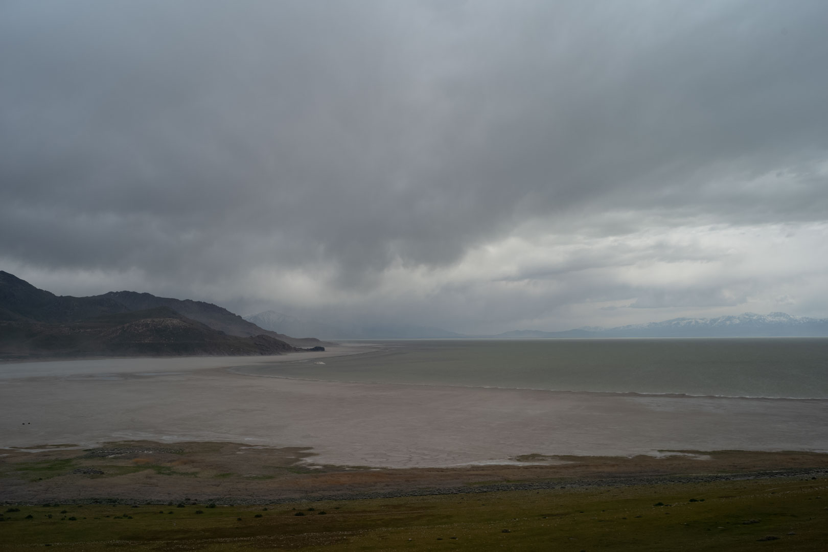
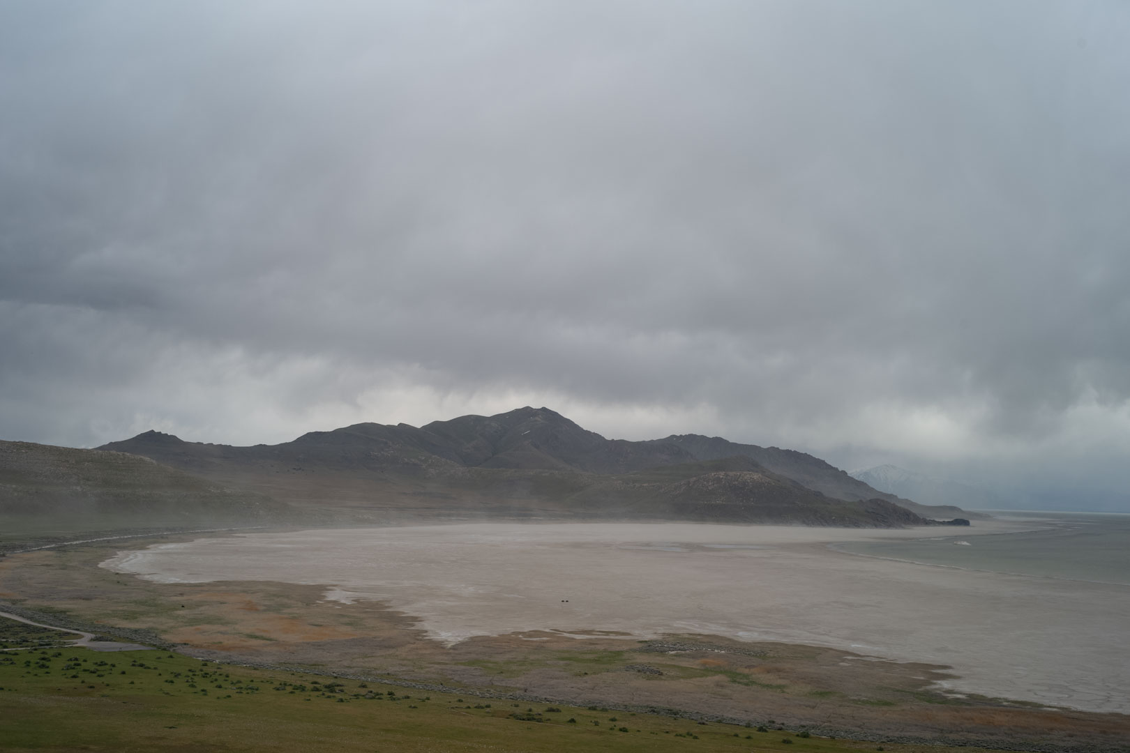
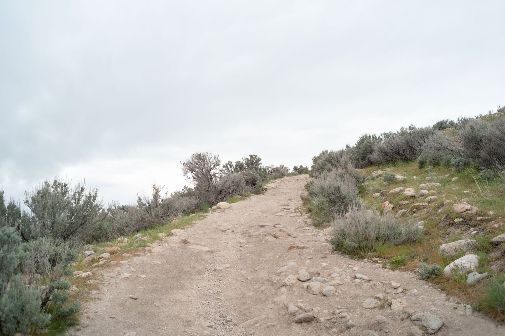
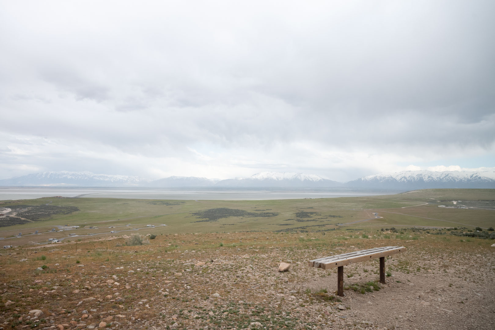
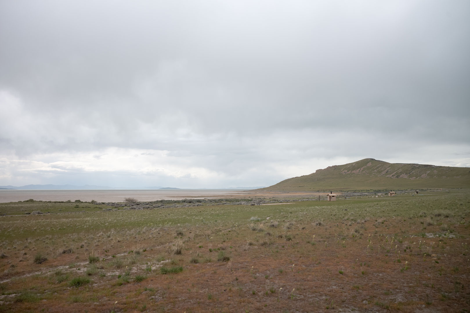
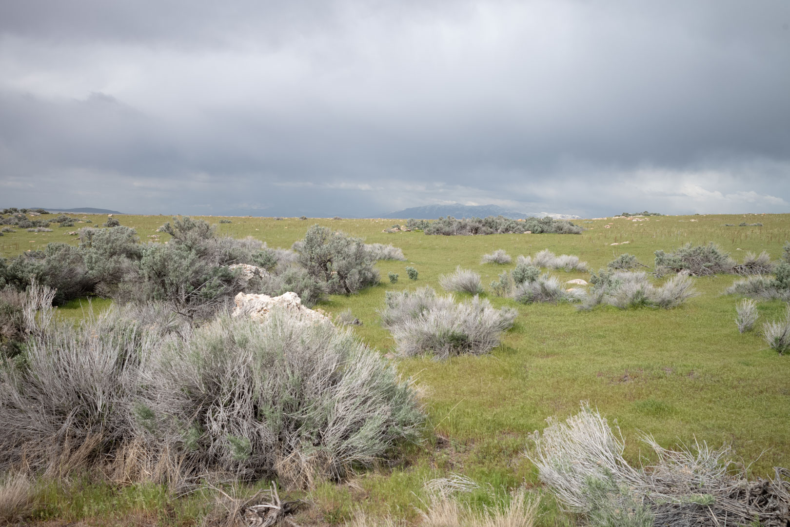
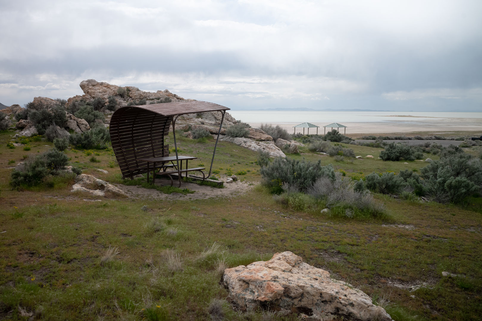
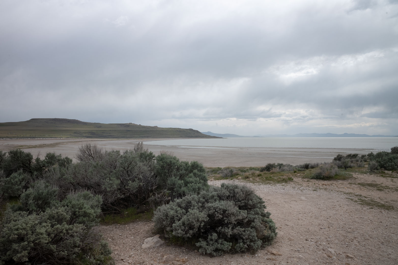
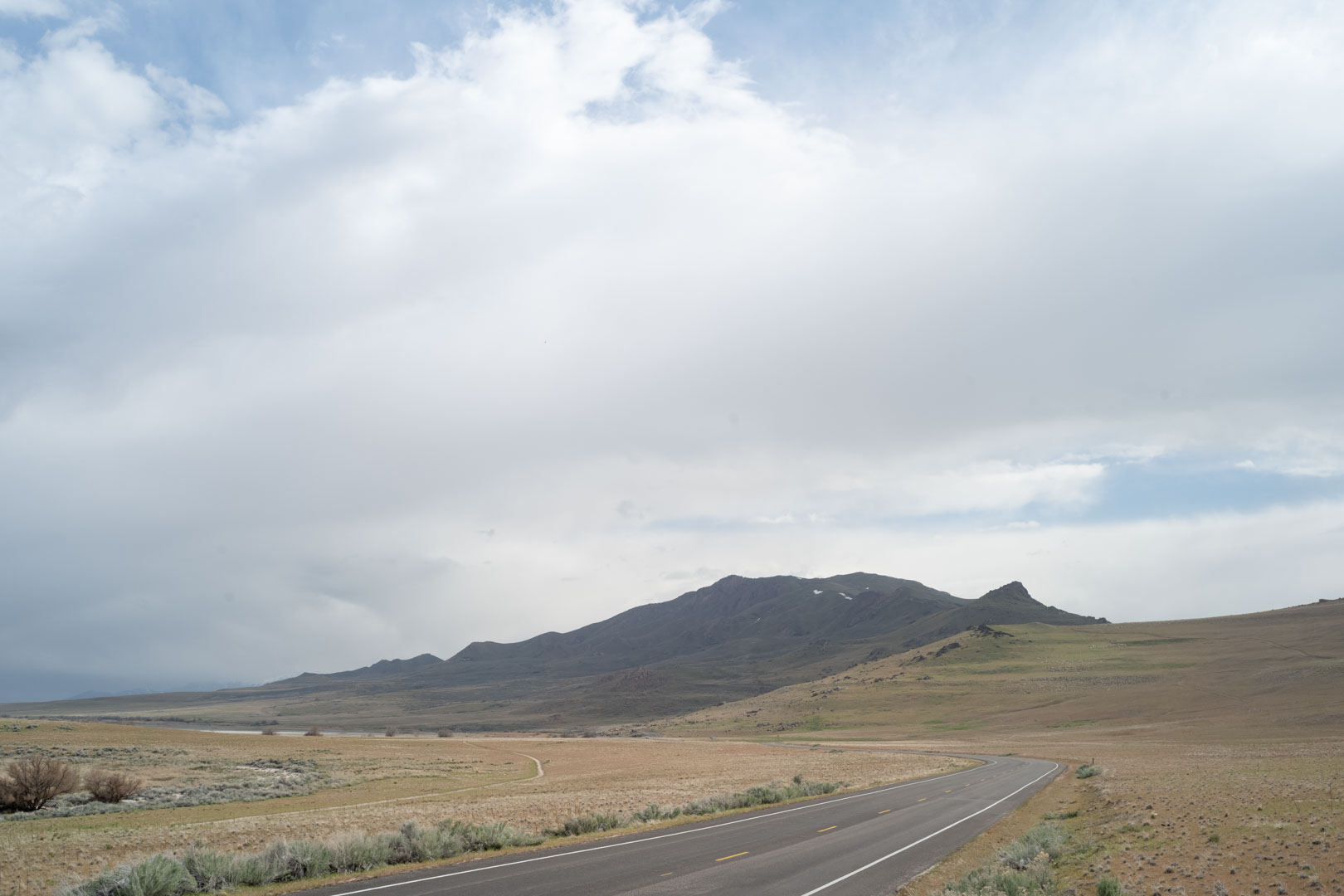
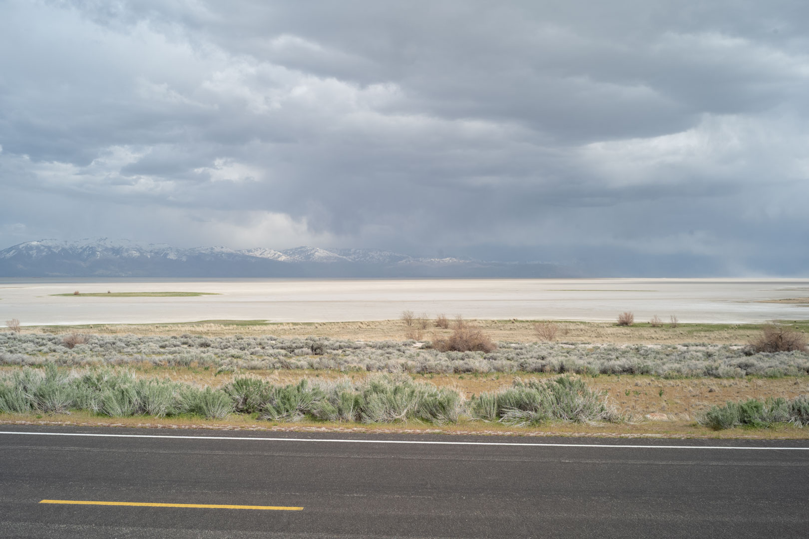
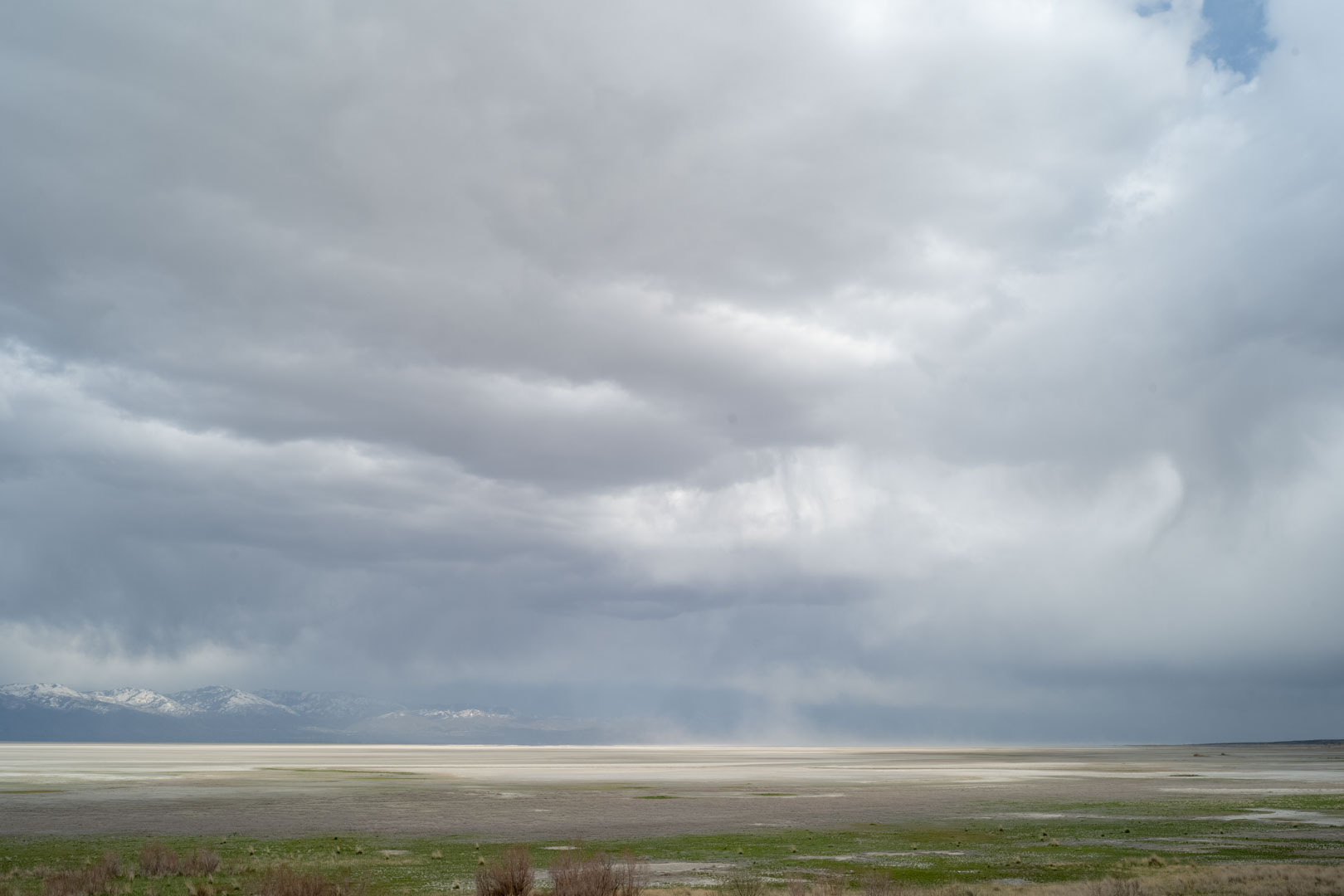
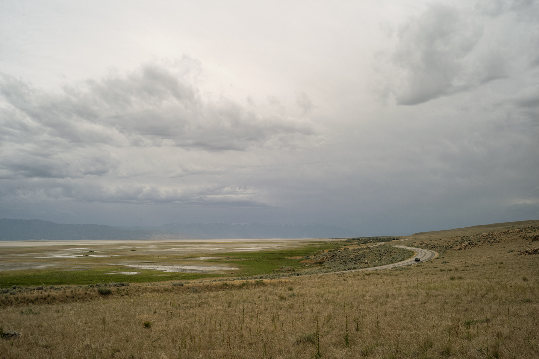
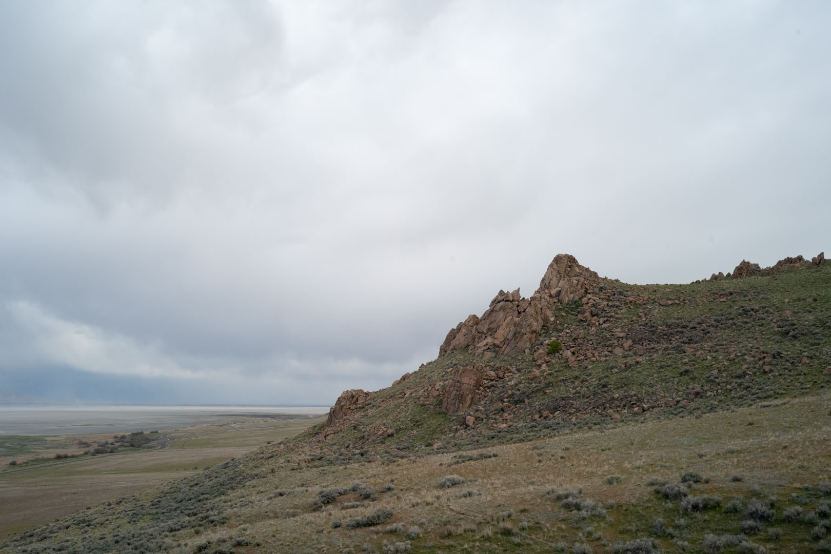
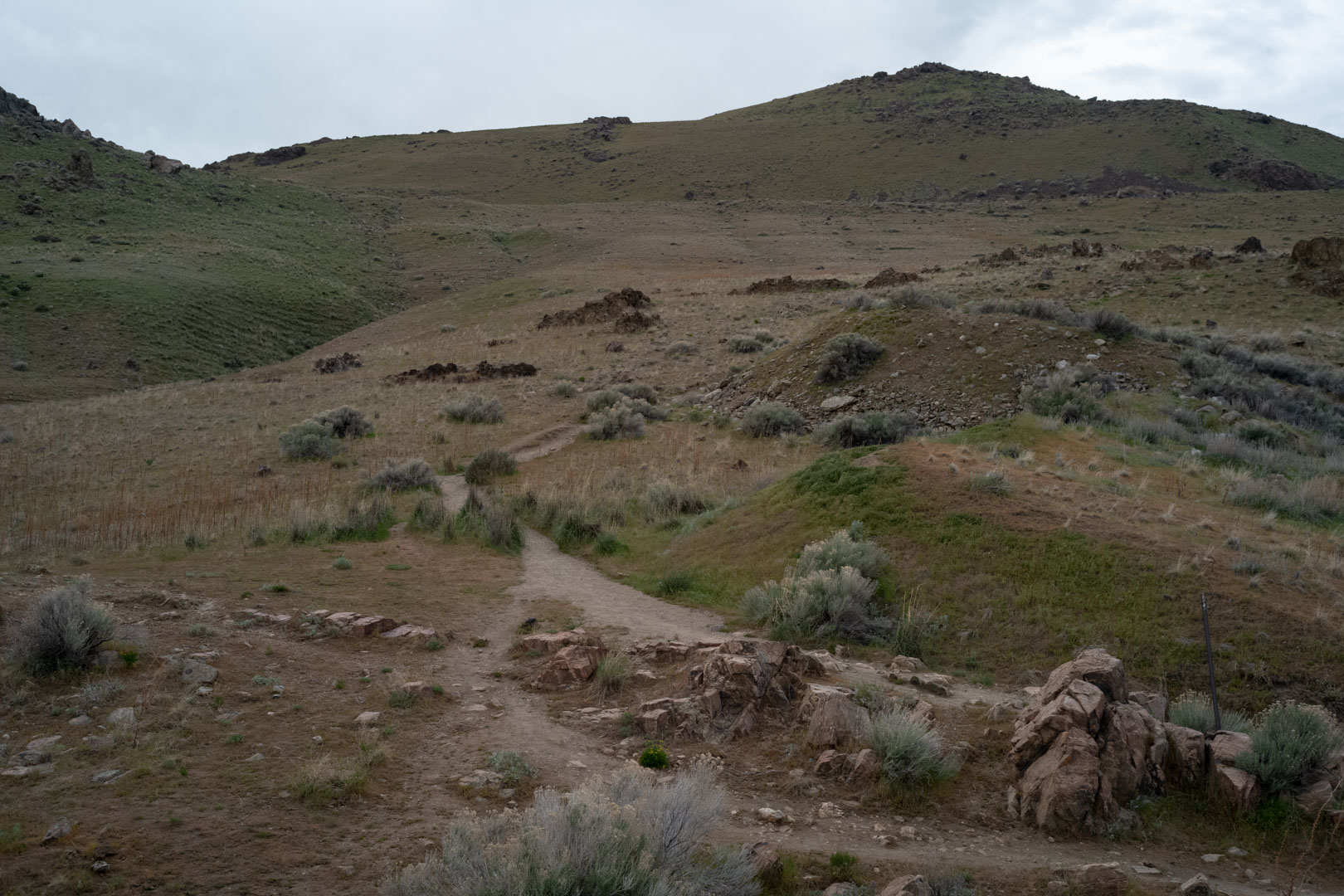
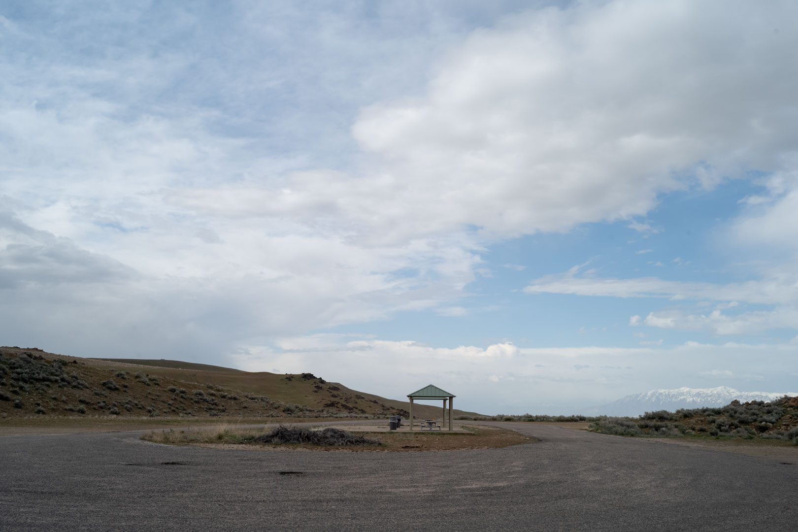
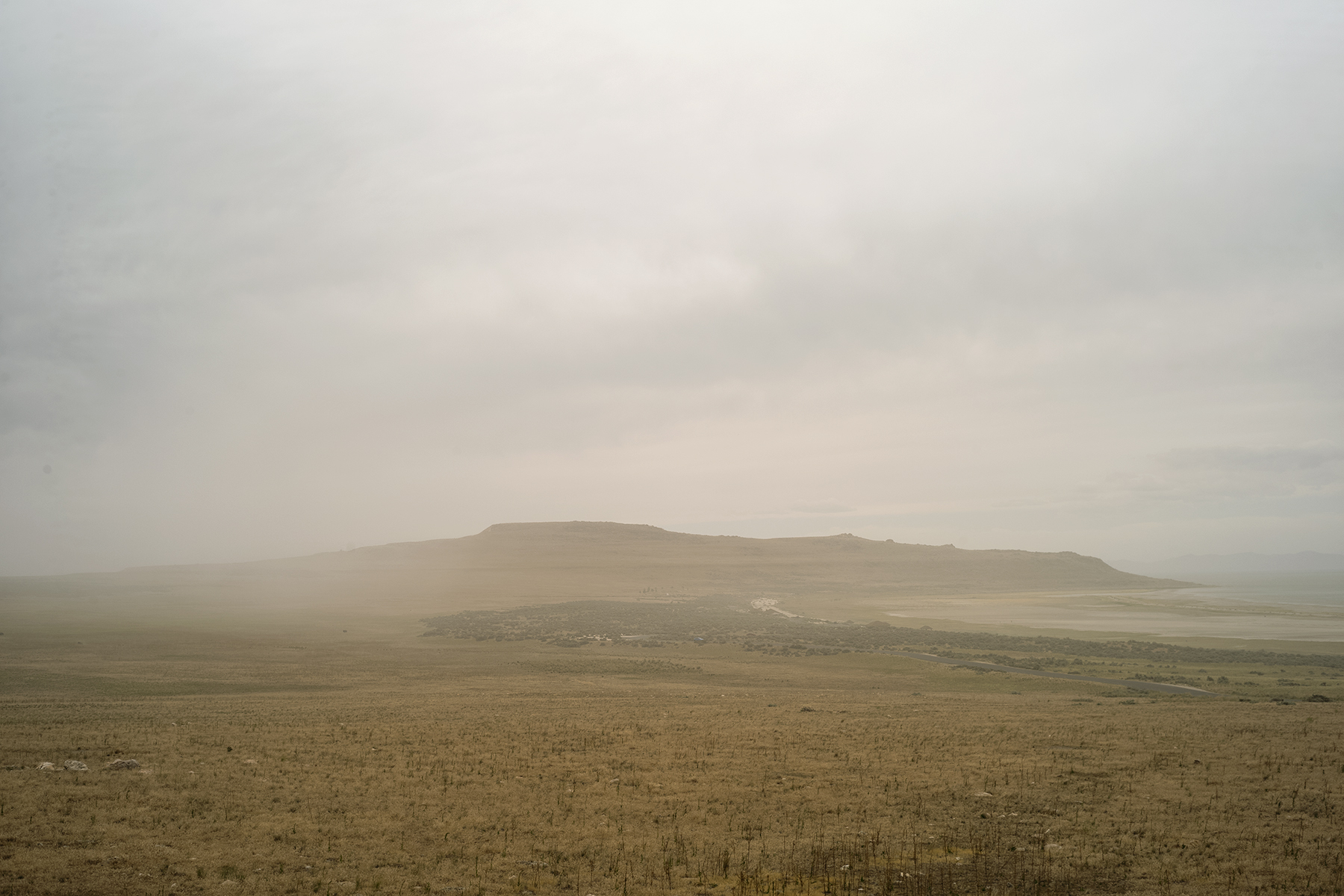
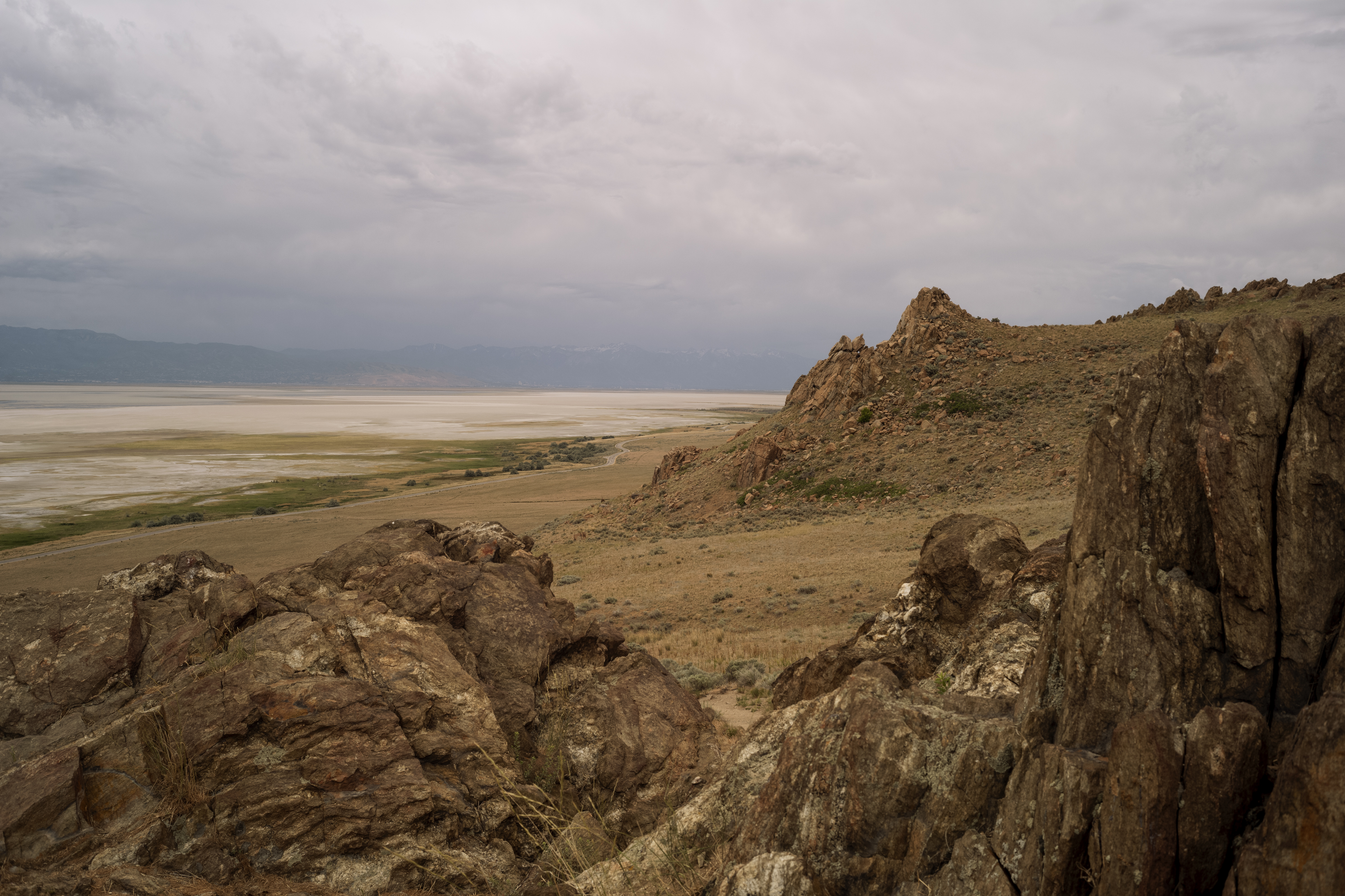
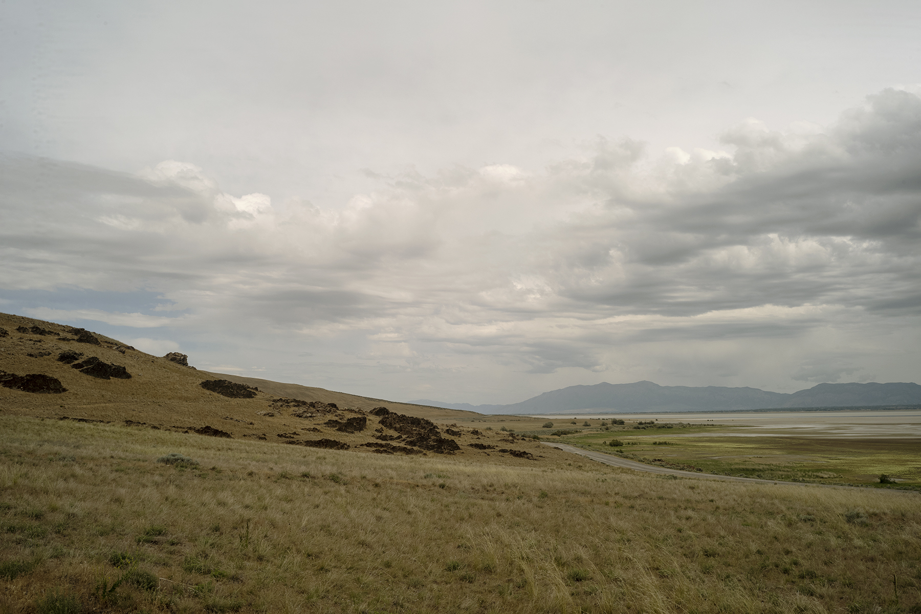
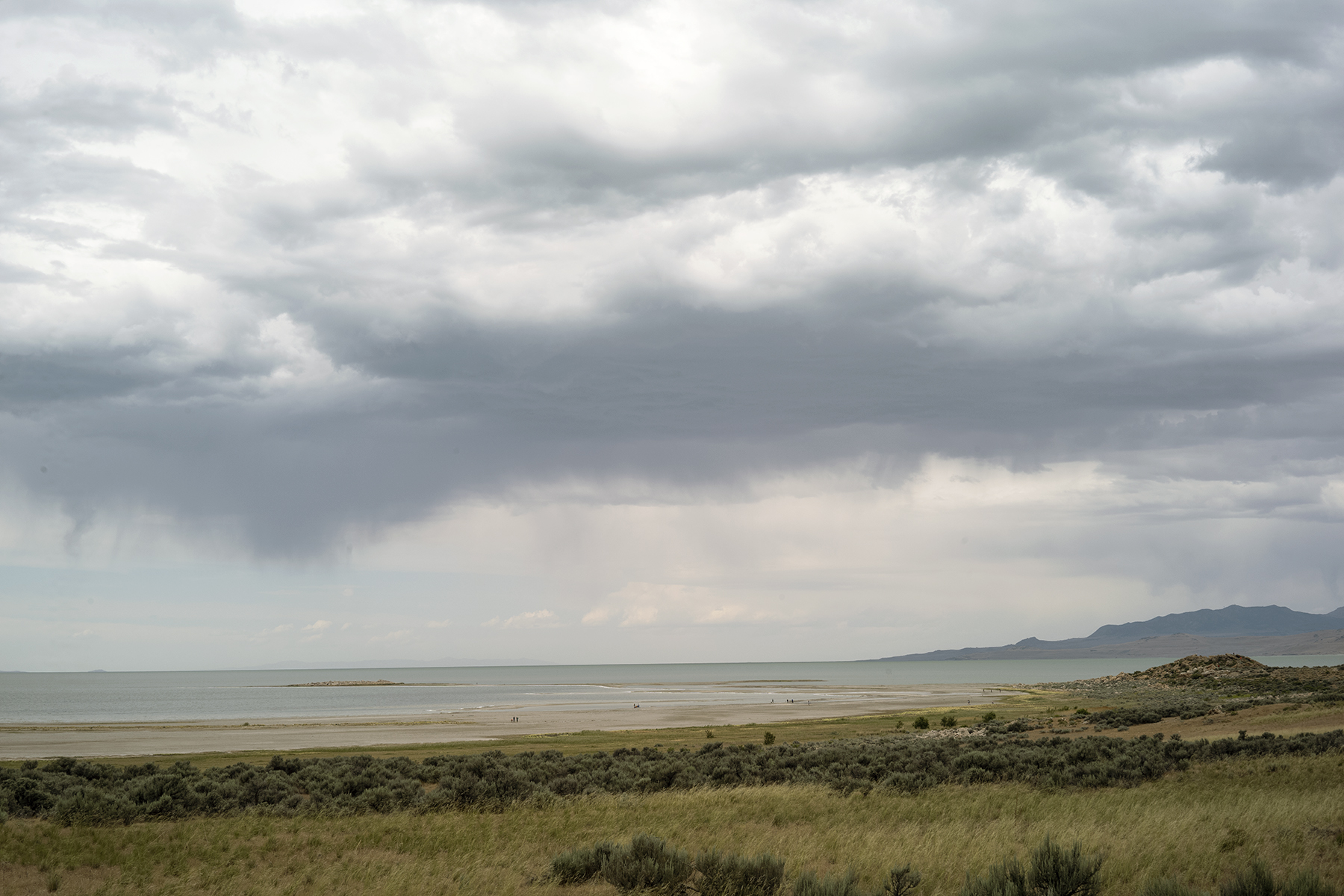
To reach the island, one can use a 7-mile causeway from Syracuse in Davis County. Access from Interstate 15 is through exit 332, followed by a westward journey along Antelope Drive (SR-108). The island's shore, except for the west side, is mostly flat, with beaches and plains leading to the base of the island's mountains. These mountains are visible from most of the northern Wasatch Front and reach a maximum elevation of 6,596 feet (2,010 m), which is about 2,500 feet (762 m) above the lake's level.
To reach the island, one can use a 7-mile causeway from Syracuse in Davis County. Access from Interstate 15 is through exit 332, followed by a westward journey along Antelope Drive (SR-108). The island's shore, except for the west side, is mostly flat, with beaches and plains leading to the base of the island's mountains. These mountains are visible from most of the northern Wasatch Front and reach a maximum elevation of 6,596 feet (2,010 m), which is about 2,500 feet (762 m) above the lake's level.
G.P.S Coordinates
40.9581° N, 112.2146° W
40.9581° N, 112.2146° W
Closest Hospital
Holy Cross Hospital - Davis
1600 W Antelope Dr, Layton, UT 84041
Holy Cross Hospital - Davis
1600 W Antelope Dr, Layton, UT 84041